-->
Etang de la Goueille
Altitude 2298 m - Superficie 1.8 ha - Profondeur ? -
Poissons: TF
Les étangs de Petsiguer, 2 étangs principaux (2298 m et 1,1 ha environ pour le plus grand, 2299 m et 0,7 ha pour le plus petit) et plusieurs petits laquets situés entre 2305 m et 2325 m. Un orri à proximité et une cabane fermée témoigne d'une activité pastorale toujours présente.
Ces étangs sont nichés dans une vallée discrète, dominée par le Pic de l’Aspre qui s’élève environ 400 mètres au-dessus d’eux. Les panoramas depuis les étangs offrent des vues remarquables sur la vallée, l’étang d’Izourt en contrebas et les sommets environnants.
Randonnée Etangs de Petsiguer
:
Carte IGN OSM GPX GMaps
Départ : Centrale électrique de Pradières 1183 m
Massif : Pic de l'Astre 2744 m - Vallée de Pradières
Parcours :
Montée 3h30 -
L’accès principal aux étangs de Petsiguer se fait généralement à partir de l’étang d’Izourt, en suivant des sentiers balisés (marquage jaune pâle). Plusieurs itinéraires de randonnée permettent de découvrir ces étangs, notamment :
Une boucle sur deux jours passant par le refuge du Fourcat, l’étang d’Izourt, les étangs Fourcat et de Petsiguer.
Des circuits à la journée ou sur plusieurs jours, avec des variantes passant par les étangs de la Goueille ou le Pic de l’Aspre.
Sujets forum : - Étangs de Petsiguer - Petit circuit sympa - Etangs de Petsiguer
Etangs de Petsiguer et pic de l'Aspre 2744 m
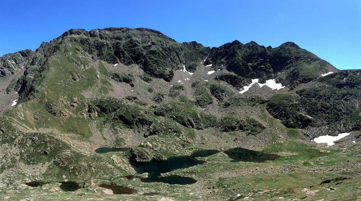
photo Août 2009 d'après Stephan
Etangs de Petsiguer
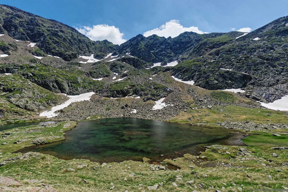
photo 24 juin 2017 d'après Stephan
Les étangs de Petsiguer, photo prise en redescendant du pic de l'Aspre.
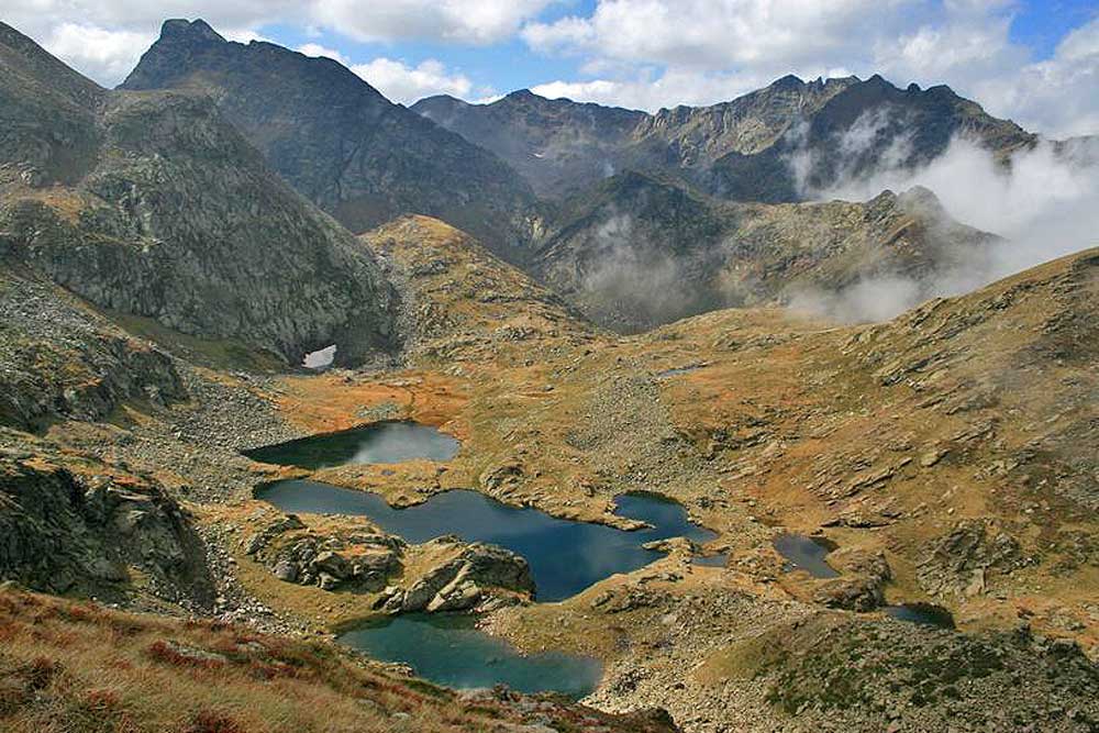
photo 28 Septembre 2009 d'après Olivier Cavaille
Etangs de Petsiguer
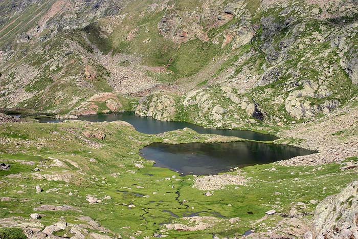
photo 5 août 2006 d'après Tihi29
Etangs de Petsiguer
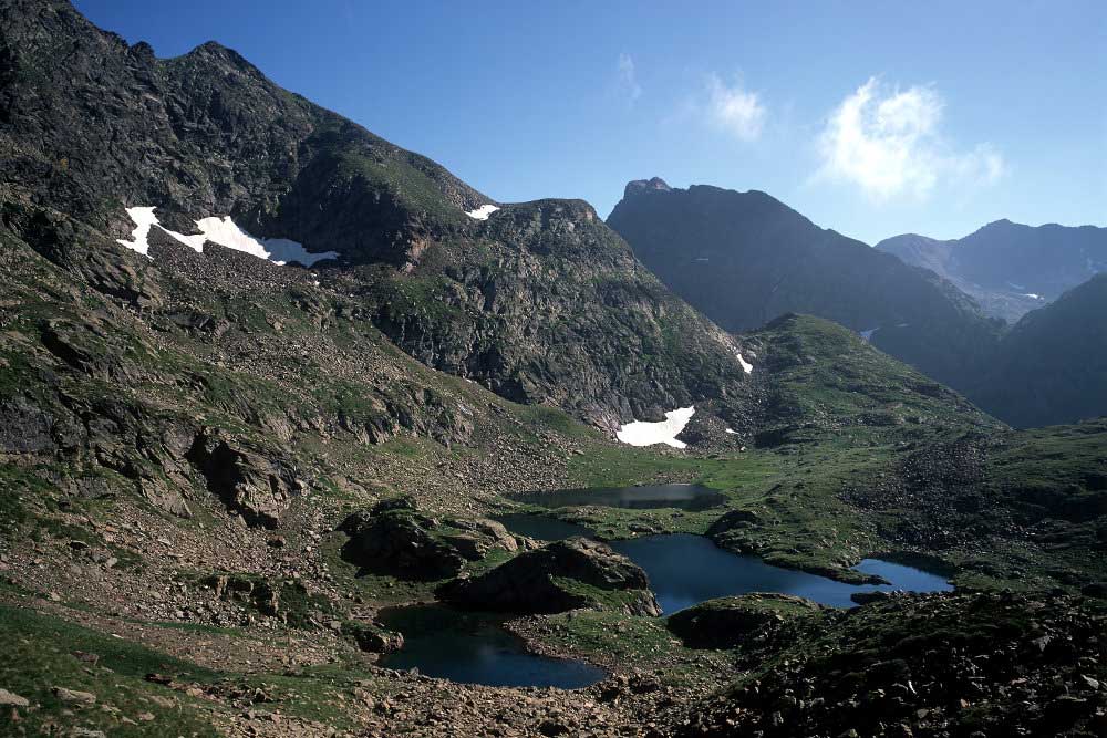
photo Août 2009 d'après Stephan
Etangs de Petsiguer
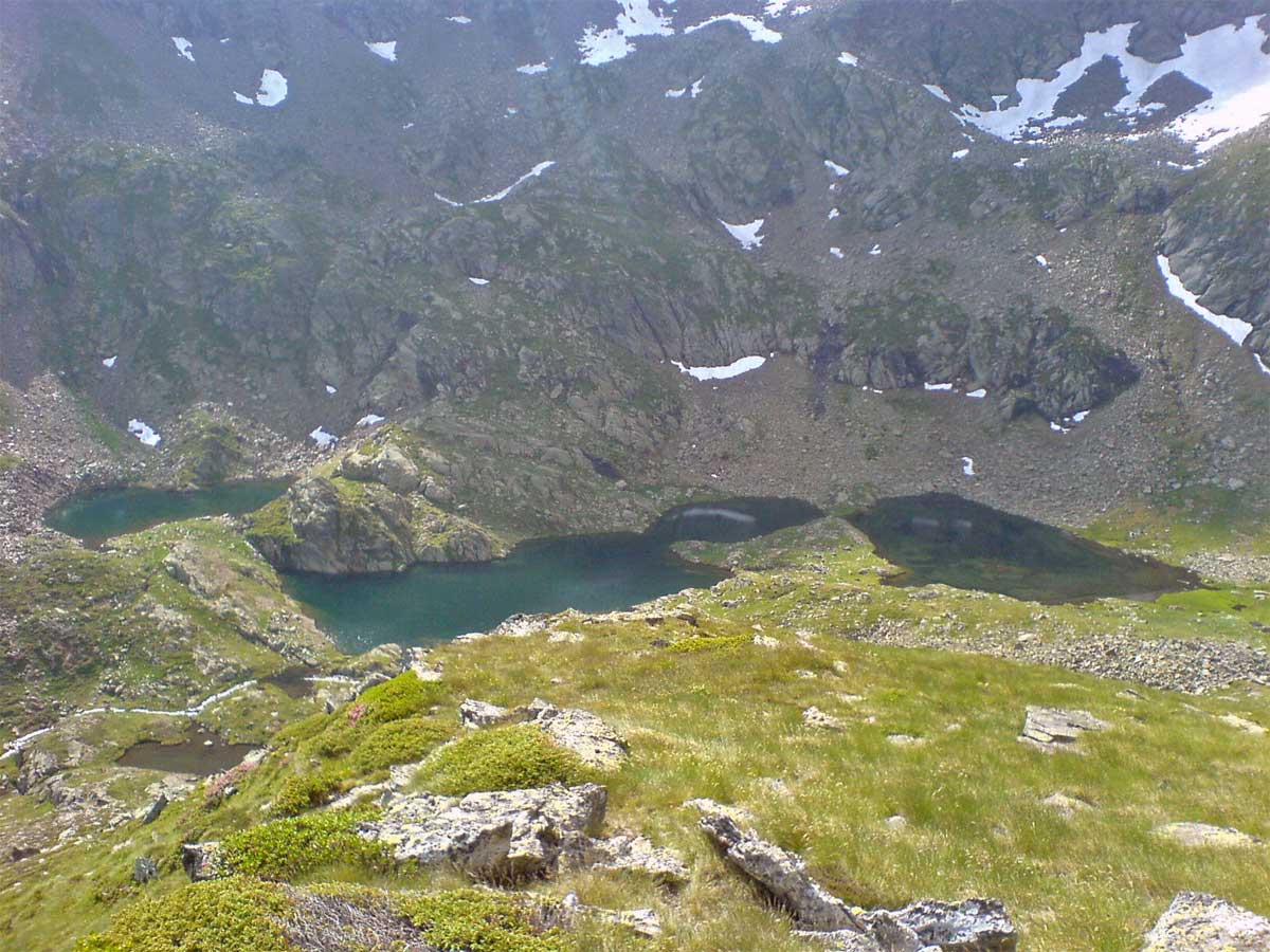
photo 17 juillet 2010 d'après Jean Marc Mailhol
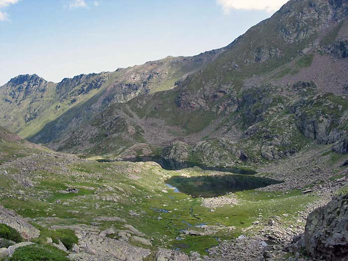
photo d'après Philou_c
Etang de Petsiguer
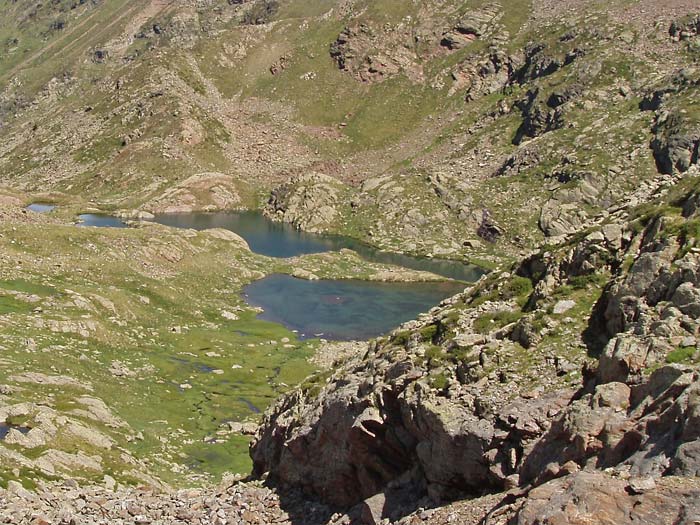
photo 7 aout 2005 d'après Alexandre Dine
Etangs de Petsiguer
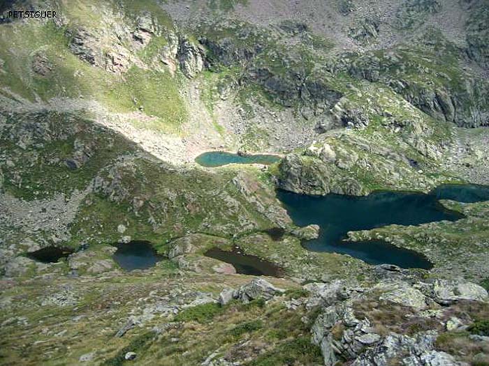
photo septembre 2004 d'après Olivier Racaud
Autres photos:
Photo d'après Philippe Queinnec |
Si vous connaissez des informations sur ce lac ou pour publier une photo:
écrivez-nous - merci


