-->
- Etang du Pinet
Altitude 1937 m - Superficie 1.0 ha - Profondeur 6 m -
Poissons: TF
L'étang Sourd 1937 m et 1 ha. Le nom de "sourd" viens probablement qu'on ne lui voit pas d'émissaire (il s'écoule en souterrain ) et peu d'alimentation. Près de la cabane un tuyau dévie un petit ruisseau à côté et l'envoie dans l'étang.
Randonnée Etang Sourd
:
Carte IGN OSM GPX GMaps
Départ : Parking de l'Artigue 1180 m
Massif : Montcalm 3077 m
Parcours :
Montée 2h30 -
Cabane de l'étang Sourd
Sujets forum : - étang Sourd
Etang Sourd
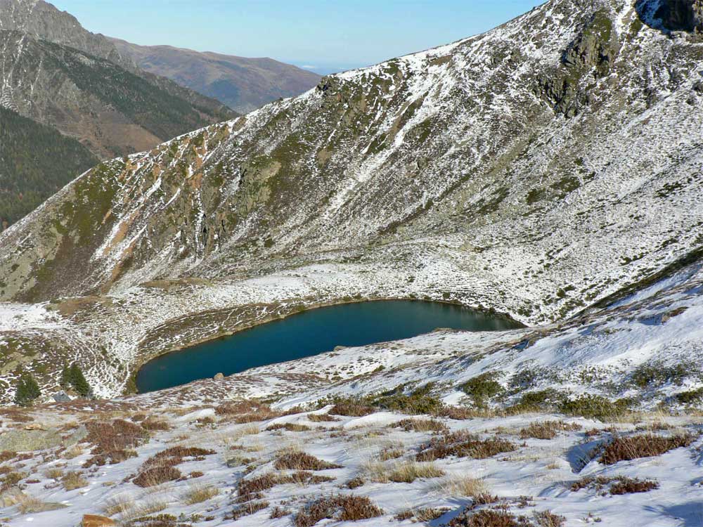
photo Novembre 2007 d'après Laurent
Etang Sourd
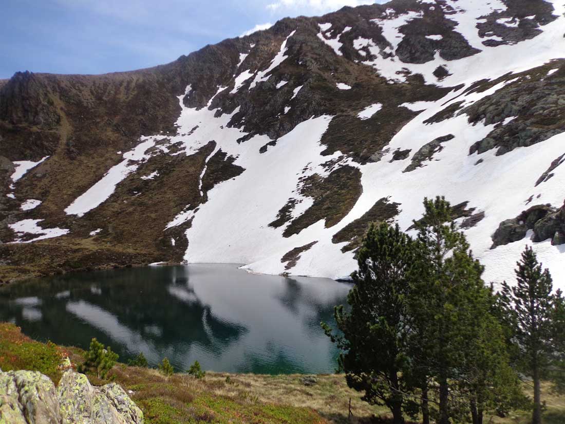
photo 16 mai 2017 d'après Christiane
Etang Sourd
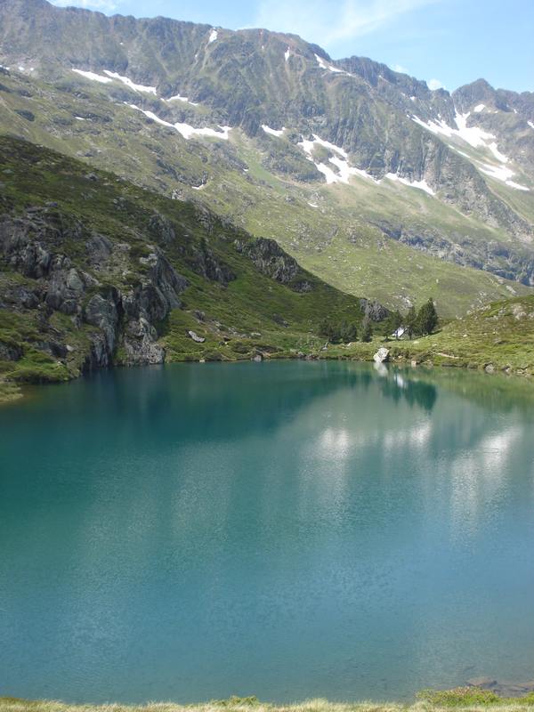
photo 16 mai 2017 d'après Christiane
Etang Sourd
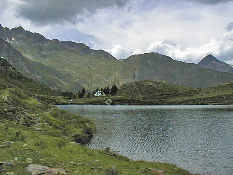
photo Juillet 1999 d'après Olivier ALLAIS
Etang Sourd
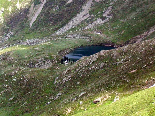
photo Juillet 2005 d'après Freddy
Autres photos:
Si vous connaissez des informations sur ce lac ou pour publier une photo:
écrivez-nous - merci


