-->
- Etang d'Araing
Altitude 1957 m - Superficie 0.8 ha - Profondeur ?
L'étang d'Uls, 1957 m et 0,8 ha. Lac aux eaux tourbeuses et ferrugineuses.
L'étang d'Uls se déverse côté Ariège, dans le ruisseau qui descend des tourbières sous le Tuc de Bouc et qui correspond à la source du ruisseau de l'Isard (qui se jette dans le Lez près de Sentein)
Randonnée Etang d'Uls
:
Carte IGN Topo Map GPX Vue satellite
Départ : Parking à Labach 970 m (Saint Béat puis direction MELLES par D44h et poursuivre jusqu’à LABACH) ou Parking Frechendech 820 m
Massif : Pic de Piélè de Mil 2128 m - Tuc de Bouc 2177 m
Parcours :
Suivre le GR 10 (balisage rouge et blanc), passer devant la cabane d’Uls et poursuivre le GR sur 500 m environ pour prendre le chemin à gauche qui mène à l'étang d’Uls
 Amazon
Aliexpress
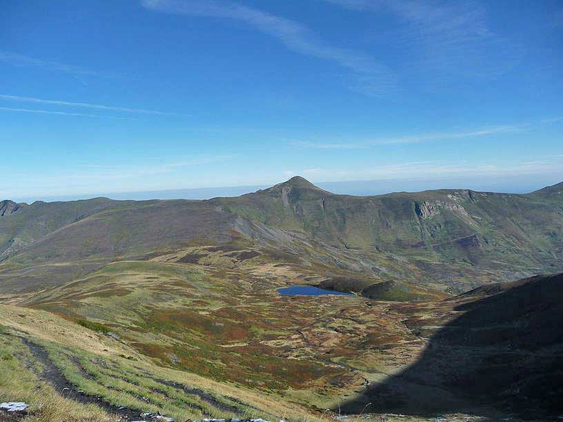
Etang d'Uls et pic de la Calabasse en fond

photo octobre 2013 d'après Cedric09
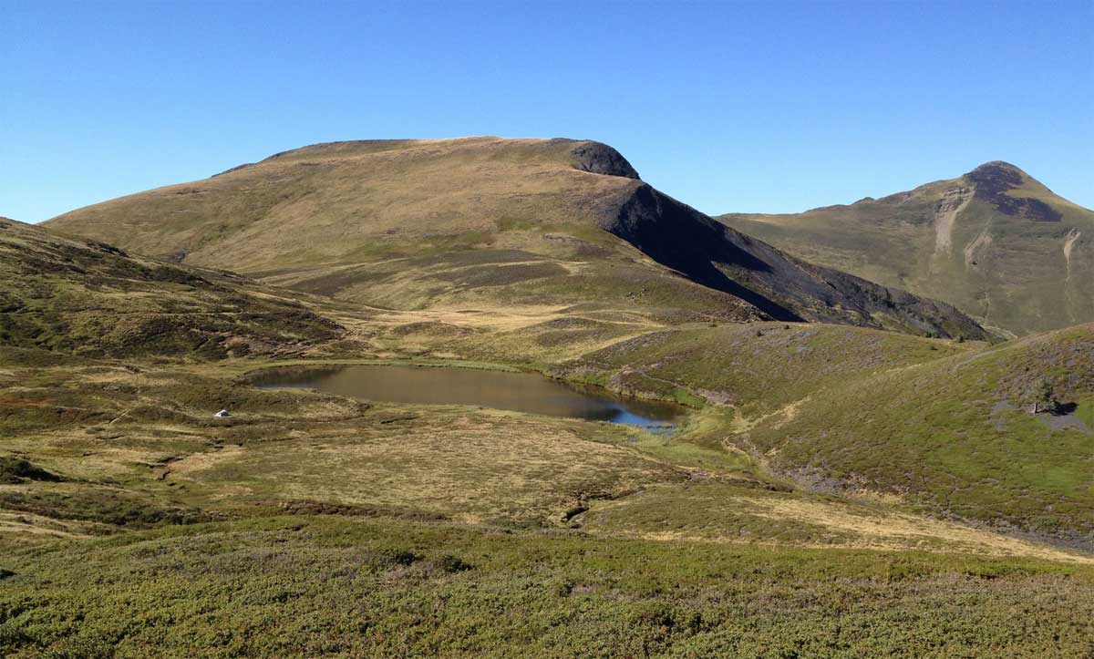
Etang d'Uls

photo 20 août 2020 d'après Olivier Llopis
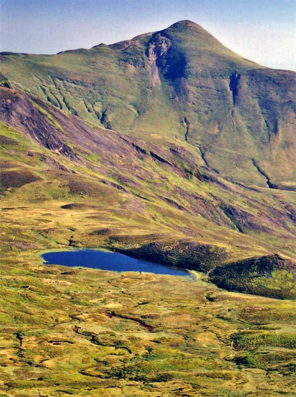
Etang d'Uls

photo d'après Christophe Reinard
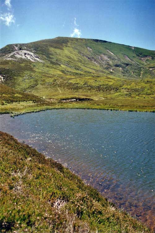
Etang d'Uls

photo d'après Christophe Reinard
Autres photos:
Si vous connaissez des informations sur ce lac ou pour publier une photo:
écrivez-nous - merci


